River & Creek Crossings in Greater San Antonio
Three river systems organize this metro's crossings: the San Antonio River south through the city and its famous improved reaches, the Guadalupe through New Braunfels and Seguin, and the Medina across the southwest. Around them runs something rarer — spring-fed creeks like the Comal and San Marcos-fed systems nearby, some of the clearest water in Texas, where a drilling-fluid release isn't an incident report, it's a front-page photo.
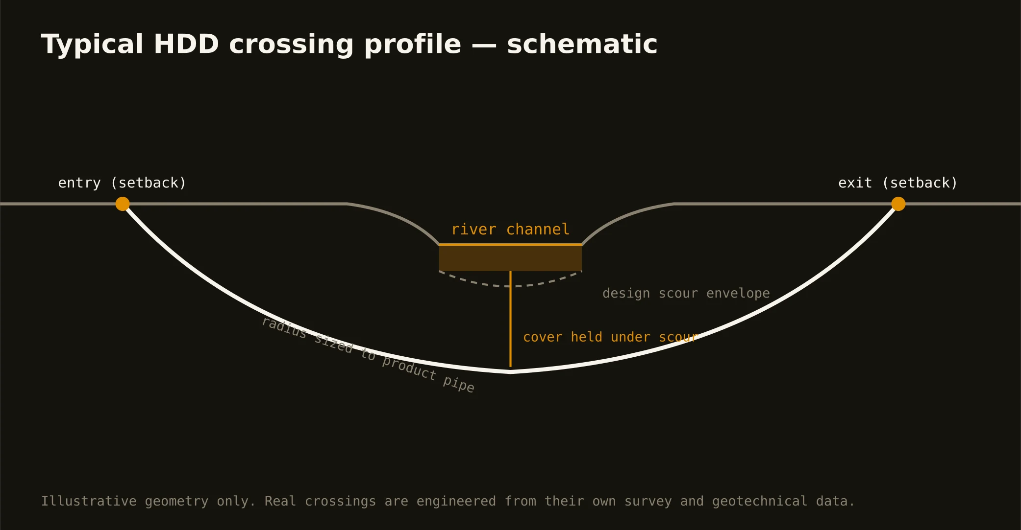
So river work here is fluid-control work. Profiles enter and exit well back from the banks, sag under design scour, and run with staged mud weights, annular-pressure monitoring, and containment staged on both banks before the pilot starts. On improved urban reaches, the river authority's requirements join the permit stack; on regulated waters, federal review joins it too.
Karst applies its twist even under rivers: limestone reaches can hand a bore a void mid-sag. The bore plan carries the void procedure in writing — it's the difference between a documented pause and an improvised one.